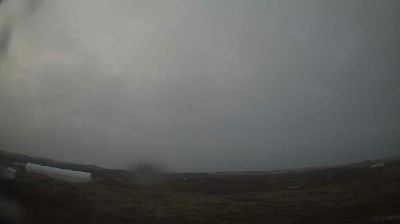
Kitimat › شمال: Highway 37 about 5 km north of - at Oolichan Avenue, looking north
![]() Kitimat, كندا
Kitimat, كندا
Real-Time Environment
Welcome to the live streaming webcam for Kitimat › شمال: Highway 37 about 5 km north of - at Oolichan Avenue, looking north, perfectly situated in the vibrant region of Kitimat, كندا. Watching this live camera allows you to instantly experience the local atmosphere and monitor current climate conditions.

About Kitimat
Kitimat is a district municipality in the North Coast region of British Columbia, Canada. It is a member municipality of the Regional District of Kitimat–Stikine regional government. The Kitimat Valley is part of the most populous urban district in northwest British Columbia, which includes Terrace to the north along the Skeena River Valley. The city was planned and built by the Aluminum Company of Canada (Alcan) during the 1950s. Its post office was approved on 6 June 1952.
📖 Read more on Wikipedia📍 Location Facts
-
Country
 كندا
كندا
- Region كولومبيا البريطانية
- City Kitimat
- Coordinates 54.0955°N, -128.6011°E
Have you been to Kitimat?
Help the community! Share your experience, tell us about the weather, or upload your own photos from this exact location.